

NASA MEaSUREs ESESES Project
For SOPAC archive data and products use username = "anonymous" and password = your e-mail address, if prompted.
02/21/2024: Added links to select combination time series, individually by station
Overview
 GPS/GNSS geodesy contributes to a wide range of scientific and societal applications including tectonic motion, crustal deformation, natural and anthropogenic processes and hazards, including earthquakes, tsunamis, volcanoes, the cryosphere, extreme weather, sea level rise, climate change and hydrology. Our NASA MEaSUREs project “Extended Solid Earth Science ESDR System” (ESESES) provides the basic infrastructure, data and data products in support of these applications in the form of Earth Science Data Records (ESDRs). The project is a long-lived collaborative effort of the Jet Propulsion Laboratory (JPL) and Scripps Institution of Oceanography (SIO) encompassing about 30 years of data. NASA's CDDIS Archive of Space Geodetic Data (CDDIS Main Page; CDDIS Slides) is the Earth Observing System Data and Information System (EOSDIS) Distributed Active Archive Center (DAAC) for our project. Our products are directly accessed here at CDDIS (need to create a NASA Earthdata account) with a landing page describing the project. The ESESES website is hosted by the Scripps Orbit and Permanent Array Center (SOPAC).
Project Algorithm Theoretical Basis Document (ATBD) (username: anonymous; password - your e-mail address)
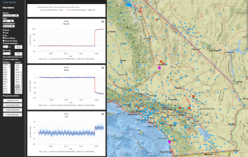
Coordinates and Velocities (most recent)
View videos describing our project and products:
Overview: Bock & Moore Video (NASA Earthdata Webinar 9/28/2022) & Slide Deck
Overview: Bock Video and Poster, (presented at 2021 SCEC Annual Meeting, 9/13/2021)
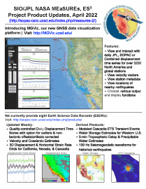
MGViz Overview: Moore Video, 5/16/2022
Hydrology and Water Storage: Argus Video, 11/15/2021
Displacement Grids: Guns Video, 1/8/2022
ETS Transients: Liu Video, 1/20/2022
Troposphere Delays and Precipitable Water: Moore Video, 3/23/2022
Seismogeodetic Earthquake Catalog: Golriz Video, 4/27/2022
MGViz Overview: Moore Video, 5/16/2022
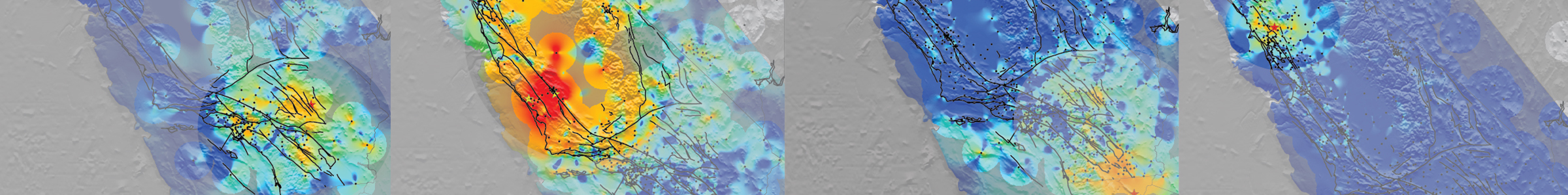
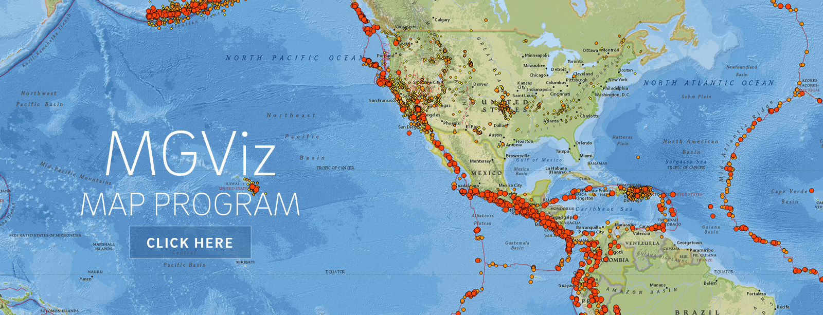 Our MGViz product viewer is powered by the open source Multi-Mission Geographic Information System (MMGIS) developed at JPL for viewing Mars mission data (Calef, F. J., Soliman, T. K., Roberts, J. T., Gengl, H., & Dahl, L.).
Please use this reference to acknowledge our project:
Bock, Y., A. W. Moore, D. Argus, P. Fang, D. Golriz, K. Guns, S. Jiang, S. Kedar, S. A. Knox, Z. Liu & A. Sullivan (2021), Extended Solid Earth Science ESDR System (ES3): Algorithm Theoretical Basis Document, NASA MEaSUREs project #NNH17ZDA001N, http://garner.ucsd.edu/pub/measuresESESES_products/ATBD/ESESES-ATBD.pdf (username: anonymous; password - your e-mail address)