

NASA MEaSUREs ESESES Videos
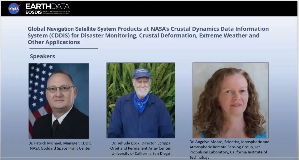
Overview: Bock & Moore Video and Slide Deck, (presented at NASA Earthdata Webinar, 9/28/2022)
Overview: Bock Video and Poster, (presented at 2021 SCEC Annual Meeting, 9/13/2021)
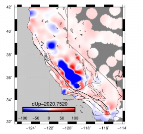
Hydrology and Water Storage: Argus Video, 11/15/2021
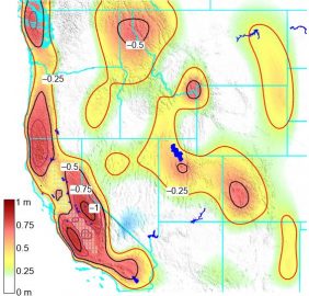
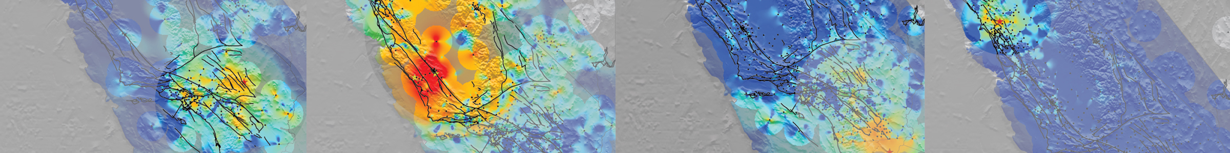
Displacement Grids: Guns Video, 1/8/2022
ETS Transients: Liu Video, 1/20/2022
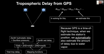
Troposphere Delays and Precipitable Water: Moore Video, 3/23/2022
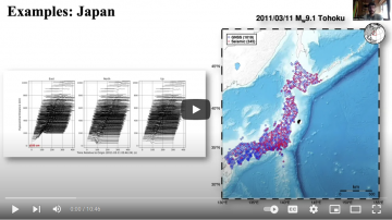
Seismogeodetic Earthquake Catalog: Golriz Video, 4/28/2022
Project Algorithm Theoretical Basis Document (ATBD) (username: anonymous; password - your e-mail address)
Please use this reference to acknowledge our project:
Bock, Y., A. W. Moore, D. Argus, P. Fang, D. Golriz, K. Guns, S. Jiang, S. Kedar, S. A. Knox, Z. Liu & A. Sullivan (2021), Extended Solid Earth Science ESDR System (ES3): Algorithm Theoretical Basis Document, NASA MEaSUREs project #NNH17ZDA001N, http://garner.ucsd.edu/pub/measuresESESES_products/ATBD/ESESES-ATBD.pdf (username: anonymous; password - your e-mail address)
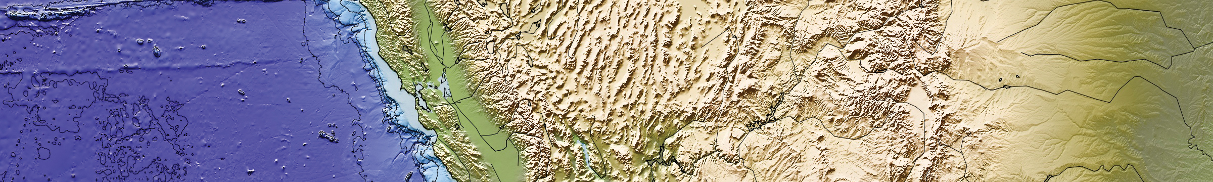
MGViz: Moore Video, 05/16/2022
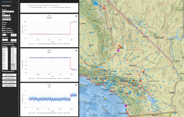
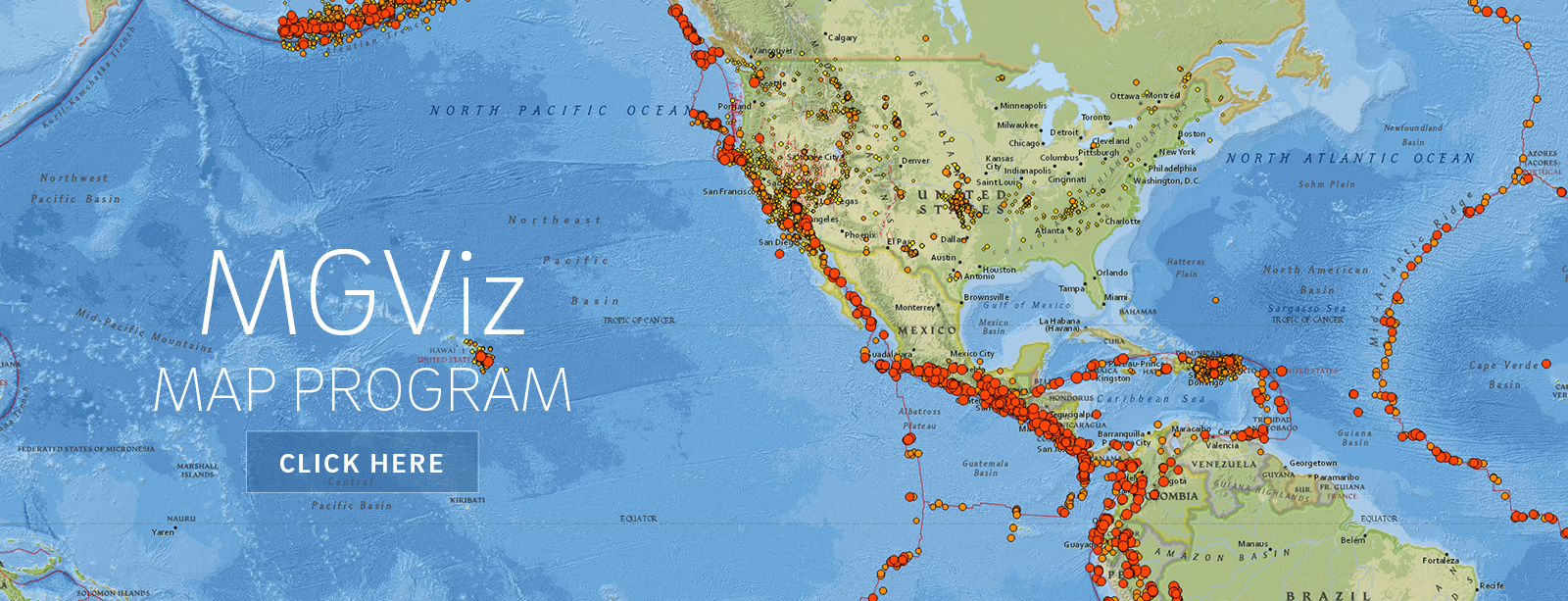 Our MGViz product viewer is powered by the open source Multi-Mission Geographic Information System (MMGIS) developed at JPL for viewing Mars mission data (Calef, F. J., Soliman, T. K., Roberts, J. T., Gengl, H., & Dahl, L.).